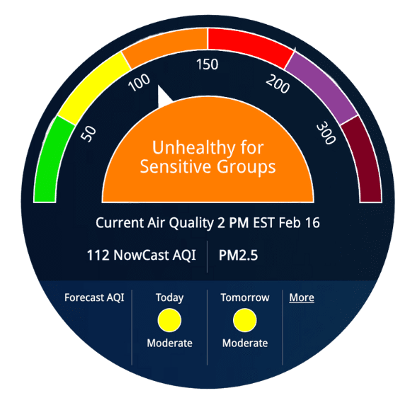
AirNow, a partnership of the U.S. Environmental Protection Agency, the National Oceanic and Atmospheric Administration, and other federal, tribal, state, and local air quality agencies, is a one-stop source for air quality data. Users can view information for their local area, as well as information at state, national, and worldwide levels. Data is reported using the U.S. Air Quality Index, a color-coded system that clearly indicates how clean or polluted the air is. Additionally, as wildfires have an increasing effect on human health, AirNow’s Fire and Smoke Map, a collaboration between the U.S. Environmental Protection Agency and the U.S. Forest Service, provides users with actionable information they can use to protect their health. The Fire and Smoke Map incorporates data from low-cost air sensors to cover areas that lack AirNow or U.S. Forest Service monitors. AirNow is also available as an app, allowing users to efficiently check current and future air quality information.

